
AI method delivers 10-minute ocean color data from Himawari-8
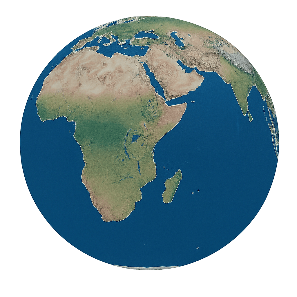
Researchers published a transformer-based machine learning method on May 15, 2026 that retrieves ocean-color reflectance from Himawari-8 every 10 minutes, a first for the geostationary meteorological satellite. The advance improves monitoring of coastal waters, algal blooms and other rapid ocean changes across the Asia-Pacific region.
Why it matters: - Ocean color data help track marine ecosystems, primary productivity, algal blooms, sediment transport and water quality. - Himawari-8 can observe the same area frequently, but it has not been able to deliver reliable ocean-color products at minute-scale intervals. - The new method closes that gap and could improve near-real-time monitoring across the Asia-Pacific region.
What happened: - Researchers from the Chinese Academy of Sciences, Inner Mongolia Normal University, the University of Oslo and partners published the study on May 15, 2026 in the Journal of Remote Sensing. - The team developed a transformer-based algorithm that retrieves remote sensing reflectance, or Rrs, from Himawari-8 multispectral data at 10-minute resolution. - The approach is the first demonstrated accurate 10-minute Rrs retrieval from a geostationary meteorological satellite. - The study DOI is 10.34133/remotesensing.1047.
The details: - Himawari-8’s low signal-to-noise ratio has limited ocean-color accuracy, especially in coastal waters and clear water conditions. - The algorithm learns from high-quality MODIS Aqua observations and uses a transformer model to estimate Rrs more accurately. - The model combines atmospheric correction with machine learning. - Gas absorption from ozone and nitrogen dioxide is corrected using ERA5 reanalysis and OMI data. - Rayleigh scattering is removed with a lookup table from a coupled atmosphere-ocean radiative transfer model. - Input features include solar zenith angle, six Himawari-8 reflectance bands from 470 to 2257 nm, aerosol optical thickness and wind speed. - Training targets include MODIS Aqua Rrs products spectrally interpolated to Himawari-8 bands and AERONET-OC in situ measurements. - The dataset contains nearly 475 million samples, with a 9:1 train-test split. - The model retrieves Rrs at 470, 510 and 640 nm with 5 km resolution. - Validation against AERONET-OC showed root-mean-square error reductions of 34% at 470 nm, 26% at 510 nm and 12% at 640 nm versus standard hourly products. - The transformer achieved correlation coefficients above 0.98 on test data, compared with 0.95 for a random forest baseline and 0.84 for the operational product. - The method corrected underestimation of Rrs at 470 and 510 nm in turbid coastal waters and overestimation at 640 nm in clear waters. - Comparisons with MODIS ocean-color products showed strong spatial and temporal consistency, with R greater than 0.96. - The model reduced hourly product errors by 4% to 12.5% and captured rapid coastal Rrs changes within a 1-hour window.
Between the lines: - The result shows how machine learning can compensate for a satellite that was not designed as an ocean-color sensor. - The work also shows that high-frequency observation can matter as much as spatial detail when coastal conditions change quickly. - Because the method is trained on multi-source observations, its performance may depend on expanding the sample base and handling conditions not well represented in the current data. - The focus on geostationary data suggests a path toward broader high-frequency ocean monitoring without waiting for new purpose-built sensors.
What's next: - The researchers plan to expand training samples to improve generalizability. - Future versions will add sun-glint correction. - The framework will be tested on other geostationary satellites, including GK-2A and FY-4. - Longer time-series validation will assess seasonal stability. - The team says the approach could eventually extend to hyperspectral sensors such as PACE.
The bottom line: - Himawari-8 can now be used for much faster and more accurate ocean-color monitoring, turning a weather satellite into a near-real-time tool for coastal surveillance.
Disclaimer: This article was produced by AGP Wire with the assistance of artificial intelligence based on original source content and has been refined to improve clarity, structure, and readability. This content is provided on an “as is” basis. While care has been taken in its preparation, it may contain inaccuracies or omissions, and readers should consult the original source and independently verify key information where appropriate. This content is for informational purposes only and does not constitute legal, financial, investment, or other professional advice.
Sign up for:
The Mongolia Gazette
The daily local news briefing you can trust. Every day. Subscribe now.
Check Your Email!
We sent a one-time activation link to: .
Confirm it's you by clicking the email link.
If the email is not in your inbox, check spam or try again.
Welcome back!
is already signed up. Check your inbox for updates.